
Audio By Carbonatix
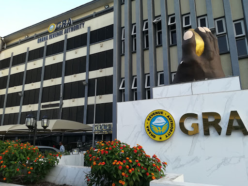
The Chairman of the Parliamentary Select Committee on Lands and Forestry, Francis Manu-Adabo, has advised the Ghana Revenue Authority (GRA) to deploy geospatial data to help in the mobilising of property tax in the country.
Geospatial data is information that describes objects, events or other features with a location on or near the surface of the earth.
Speaking on the sidelines of the 1st Annual General meeting and Conference of the Ghana Geospatial Society in Accra, Manu-Adabo advised government to invest in geospatial data to fast track national development.
Citing an example, Mr. Manu-Adabo said geospatial technology will reduce the cost that will be incurred by assemblies and the tax enforcement team in collecting property tax.
"No matter where your house is hidden, it will come out, so that the District Assemblies can go to all those places to mobilise tax to build the country. Geospatial data is very important for the work of GRA”, he stressed.
He pointed out that more government agencies can rely on data from geospatial to improve their operations at an optimal level.
"Take for example, State Housing Cooperation. They advertise their houses, why don’t they show the houses at various location through geospatial, it is not difficult” he said.
He argued that one of best advantages of geospatial is to accurately identify all houses in the country for accountability.
"The best reasons why Ghana should invest in geospatial data is that there are so many houses in the country that we don’t even know where they are to collect taxes from the owners."
About Ghana Geospatial Society
The GGS is made up of seven working groups namely Geo-Social Sciences, Geo-Health and Science and Statistics, Geo-Environmental Natural Resources, Geo-Surveying, Geospatial Utilities and Engineering, Geospatial Security and the Geospatial Information Technology.
It is also made up of four Executive Committee members and seven Planning and Sponsorship Committee members.
Some of its roles are to disseminate information on advancements of the profession and establish a platform for collaboration through seminars.
Geospatial refers to location-based information, and any technology that may be used to access such information is a geospatial technology, including the widely utilised Global Navigation Satellite Systems and remote sensing.
Latest Stories
-
A plane crashed into a tower in Beijing but China is not saying what happened
54 minutes -
Beyond Gold: Why Ghana must build strategic national reserves for the next global crisis
1 hour -
South Africa’s anti-migrant protesters march nationwide, after thousands flee violence
3 hours -
Ebola outbreak could cost Africa up to $3.6 billion, UN says
3 hours -
Bayer’s $7.25 billion Roundup settlement gets August hearing date
3 hours -
TikTok to settle with teen plaintiff before California social media trial, law firm says
3 hours -
Mbappe scores twice as France breeze past Sweden into last 16
3 hours -
Chinese tycoon sentenced to 30 years in US jail
3 hours -
Apple says it is releasing updates early in response to AI cybersecurity concerns
3 hours -
Boeing says IT outage affected computer systems, applications
4 hours -
AC Milan sign PSG’s Portugal striker Ramos for £60m
4 hours -
Villa among four Premier League clubs fined by Uefa
4 hours -
Rosenior nears management return at Paris FC
4 hours -
Basketball superstar LeBron James to leave LA Lakers
4 hours -
Flooding in Accra – It’s all about leadership (or lack of it)!
4 hours