
Audio By Carbonatix
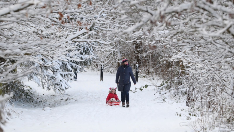
The UK has recorded its lowest temperature since December 2010, after the mercury plummeted below -20C in northern Scotland.
The Met Office recorded a low of -20.5 at Kinbrace and -20.2 in Braemar in the Scottish highlands overnight on Wednesday into Thursday.
This is the lowest temperature recorded in the UK since 23 December 2010, when the thermometers plunged to -22.3C.
Temperatures have just dipped below -20.0 C at both Kinbrace and Braemar, but Kinbrace leads by a nose, so far @BraemarMRT pic.twitter.com/EsKLeSLkM6
— Met Office (@metoffice) February 11, 2021
The record-breaking temperatures come after a freezing night for much of the UK, with temperatures seeming reluctant to climb in the aftermath of Storm Darcy.
However, following what the Met Office calls an "extreme freeze", large parts of the UK will face scattered snow showers and some sunshine, and could become "quite pleasant outside with the sunshine, although still bitterly cold" in western areas.
Across the south, east and north-east of the UK, a yellow snow and ice weather warning remains in place for Thursday, meaning disruption on the roads and railways is likely, and that people could become injured on icy patches.
There are also yellow warnings in place for Friday across the South West, the south of Wales and the North East.
As well as the freezing temperatures, there are nine flood warnings in place in England, as well as 88 flood alerts, suggesting that widespread flooding could be possible.
Thursday morning will start exceptionally #cold across many parts of the country with a severe #frost and #icy patches in places ❄️ 🌡️ ⚠️
— Met Office (@metoffice) February 10, 2021
Most areas will however have a dry morning with some #sunshine, although a few #snow flurries are possible for some of us ☀️ pic.twitter.com/Bp0TSC2Ft2
Local councils across England have warned residents to take "extra care" over the coming days while the cold snap continues.
Things do not look to be improving by Friday either, with the Met Office warning conditions will turn "quite hazardous", as an "area of cloud and rain", along with extremely cold air, brings further risks of snow or "perhaps even of freezing rain".
Latest Stories
-
Prudential Life settles GH¢100,000 medical bills under its PRUCares Valentine Experience Initiative
4 hours -
Wa West Picnic: Peter Lanchene Toobu champions peace, health and unity in landmark celebration
5 hours -
Dr Mensah Market flooded after downpour in Kumasi
5 hours -
Armed men reportedly storm Adjen Kotoku Onion Market amid tensions
6 hours -
Tecco Mensah writes: Why football fans must look beyond statistics
6 hours -
Police recover stolen Honda CR-V in Kumasi within 48 hours
7 hours -
Apetorku Gbodzi 2026 Festival opens in Dagbamete with development focus
7 hours -
President Mahama arrives in Lyon to co-chair One Health Summit
7 hours -
Beverly View Plus Hotel draws crowds amid coastal Easter rush in Volta
7 hours -
Maiden Zongo Festival held in Wa amid calls to tackle drug abuse among the youth
8 hours -
FDA warns of fake HIV test kits on Ghanaian market
8 hours -
Africa urged to build resilient health systems as donor support tightens
8 hours -
Easter gesture: Ablakwa settles medical bills for 85 North Tongu constituents
10 hours -
Africa must harness its population strength—Titus-Glover
10 hours -
Visa-free access doesn’t mean unlimited stay – Lom Ahlijah
10 hours