
Audio By Carbonatix
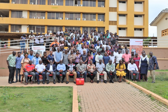
Geomatic Engineering students of the Kwame Nkrumah University of Science and Technology have begun a project to create maps to enhance town planning and management.
According to project lead, Prof. Samuel Andam-Akorful: "The main objective is to create an industry-level scenario for mapping and creating geospatial products using all fields of Geomatic Engineering."
The practical nature of the Geomatic Engineering program requires students to carry out extensive fieldwork to improve their technical skills. However, students have not had the opportunity to apply their knowledge in real-world settings.
The Department of Geomatic Engineering has therefore reorganized the final year practical task course as a Survey Camp, undertaken during a 2-week period in the long vacation.
During this Camp, students will gain firsthand experience in collecting data within communities using state-of-the-art technologies.
The datasets collected include land boundaries, land use and land cover, transportation networks, cultural and natural resources, general topographic data, and more.
The Department is collaborating with the Oforikrom Municipality to develop a map for the Ayigya township.
The students will map both natural and manmade features in the area and gather information about the land use of parcels in the region.
They will also assess whether current developments in the township align with the planned scheme.
Prof. Andam-Akorful believes this initiative will complement the efforts of the Lands Commission. He also hinted at expanding the project nationwide.
"Our long-term vision is to make what we call the land banks for the nationwide. We want to document this information so it becomes easier to access details about who owns what land and where. As we collect this information, it will complement what the Lands Commission is doing. We will collaborate with any community that wants to work with us," he was optimistic.
Partners and sponsors of the program include the Oforikrom Municipal Authority, Hia Topre Stool-Ayigya, Geometrix Engineering, PDSA (part of Hexagon), Quest Consolidated Ltd., and Leica Geosystems Ghana.
Latest Stories
-
NPA raises fuel price floor for March 1 window; petrol now GH¢10.46, diesel GH¢11.42
6 minutes -
UCC to honour Veep Prof. Jane Opoku-Agyemang with Distinguished Fellow Award
12 minutes -
Rugby Africa enters a new chapter as national unions approve structural reforms at 17th AGM in Kampala
25 minutes -
Ghana falls 7 places in Global Mining Investment Attractiveness report
27 minutes -
MoFA lauds AGRA Ghana’s agriculture mechanisation interventions in Sekyere Central District
36 minutes -
MTN Ghana elevated to major subsidiary status within MTN Group
41 minutes -
Annoh-Dompreh inspects new Adoagyiri Health Centre Project, pledges full equipment support
57 minutes -
Beyond Personal Choice: Understanding the Social and Environmental Drivers of Overweight and Obesity in Ghana
1 hour -
Political influence turned galamsey into a monster – Former CJ Sophia Akuffo
1 hour -
ECOWAS urges restraint amid escalating tensions in Gulf region
1 hour -
Liberia Embassy engages Ghana authorities over death of citizen in Accra
1 hour -
Pedestrian struck by vehicle at Pokuase Interchange amid streetlight concerns
1 hour -
Fact Check: Mahama’s claim that over one million people found employment from 2025 Q1 to Q3 is false
1 hour -
Health Directorate cracks down on staff absenteeism to boost performance
1 hour -
Ghana honours 3 ex-servicemen whose death peaked anti-colonial campaign
1 hour