

Audio By Carbonatix
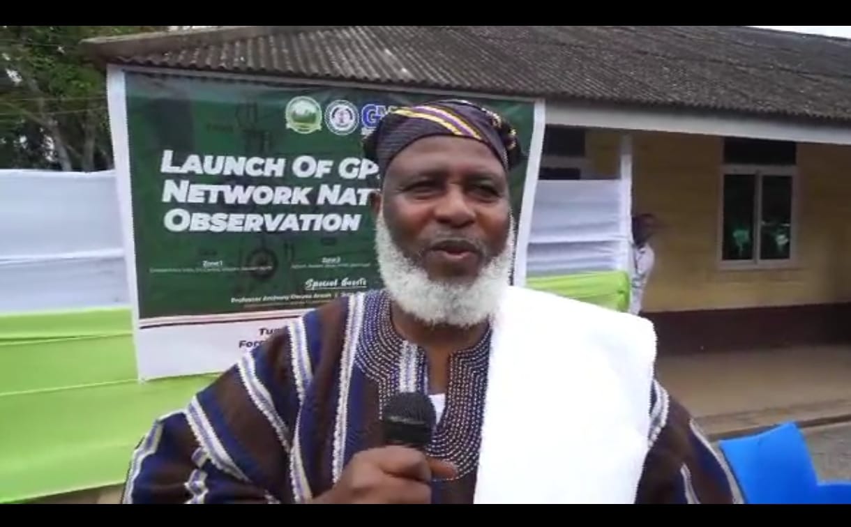
The Lands Commission, through its Survey and Mapping Division (SMD), in collaboration with the Licensed Surveyors Association of Ghana (LiSAG) and GMX Systems Ghana Limited, has launched a nationwide observation exercise for Ghana’s Global Navigation Satellite System (GNSS) Continuously Operating Reference Station (CORS) Network.
This initiative represents a major milestone in modernising the country’s geospatial infrastructure and improving land administration.
The launch, held at the forecourt of the Commission’s Examination Section, brought together licensed surveyors, technical partners, staff, and other stakeholders.
In his welcome address, acting Director of SMD, Surv. Naa Seidu Zakaria, explained that the exercise aims to integrate more than 60 newly established CORS stations into the national geodetic framework, consolidating Ghana’s Grid Coordinate System. He revealed that the partners plan to expand the network to 100 stations before the end of the year.
“This is about building a stronger, smarter, and more connected Ghana,” he said. “With a modern CORS network, surveyors and spatial data users will enjoy 24/7 access to high-precision data, improved efficiency, and cost savings, while aligning Ghana with international geospatial standards.”
On behalf of LiSAG, President Surv. Ing. Dr. Samuel Larbi Darko described the project as a “national game-changer.” He emphasized its benefits for accurate land records, agriculture, disaster management, infrastructure development, and revenue generation for the Lands Commission.
“The CORS Network is not just a project. It is a living system—accessible, accurate, and sustainable,” he said, reaffirming LiSAG’s commitment to work with the Commission and GMX to sustain the system and build surveyor capacity nationwide.
Earlier, Surv. Eric Okantey, Deputy Director of SMD (Research & Development), outlined the purpose of the nationwide observation, noting that surveyors are already active in the southern sector, occupying 54 stations. He explained that the initiative will make survey work faster, more efficient, and less dependent on heavy equipment.

The observation will be rolled out in three phases — Southern, Middle, and Northern zones — to ensure systematic coverage and data management.
A symbolic sword-cutting ceremony, led by the Acting Director of SMD, officially declared the CORS Network launched.
Other speakers, including Surv. Hackman, Head of the Examination Unit, commended the initiative, describing it as transformative for the profession and the nation’s development.
With 52 CORS stations already operational under the partnership, the network is expected to grow into a 100-station nationwide system, providing reliable, real-time geospatial data to support land administration, infrastructure planning, and Ghana’s 24-hour economy vision.
Latest Stories
-
Kwahu Business Forum 2026: Corporate citizenship, sustaining African businesses take centre stage with KGL as the case study
54 minutes -
Trump seeks $152m to reopen notorious Alcatraz prison
3 hours -
Ex-Chelsea player Oscar retires with heart issue
3 hours -
CA Foundation drives constitutional literacy in Kpone Katamanso municipality
3 hours -
GPRTU to hold talks with Transport Ministry over rising fuel costs
3 hours -
CUTS International urges gov’t to halt sachet water price hike pending cost review
3 hours -
Chief Justice: Efficient Judiciary essential to reducing business costs
3 hours -
Bayern grabs 99th-minute winner to cap superb fightback
3 hours -
Ahmed Ibrahim urges Ghanaians to reflect Easter values in nation-building
4 hours -
ECG inefficiencies undermining power supply -Mahama outlines reforms
4 hours -
Lewandowski scores as Barca fight back to defeat Atletico
4 hours -
Lack of private sector consultation undermining economic growth – Jerry Ahmed Shaib
4 hours -
Real Madrid seven points adrift after Muriqi’s late Mallorca winner
4 hours -
Ghana must lead AfCFTA implementation by example – Trade Minister Ofosu-Adjare
4 hours -
Strong Judiciary key to business confidence – Chief Justice Baffoe-Bonnie
4 hours