
Audio By Carbonatix
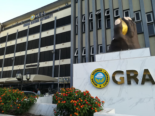
The Chairman of the Parliamentary Select Committee on Lands and Forestry, Francis Manu-Adabo, has advised the Ghana Revenue Authority (GRA) to deploy geospatial data to help in the mobilising of property tax in the country.
Geospatial data is information that describes objects, events or other features with a location on or near the surface of the earth.
Speaking on the sidelines of the 1st Annual General meeting and Conference of the Ghana Geospatial Society in Accra, Manu-Adabo advised government to invest in geospatial data to fast track national development.
Citing an example, Mr. Manu-Adabo said geospatial technology will reduce the cost that will be incurred by assemblies and the tax enforcement team in collecting property tax.
"No matter where your house is hidden, it will come out, so that the District Assemblies can go to all those places to mobilise tax to build the country. Geospatial data is very important for the work of GRA”, he stressed.
He pointed out that more government agencies can rely on data from geospatial to improve their operations at an optimal level.
"Take for example, State Housing Cooperation. They advertise their houses, why don’t they show the houses at various location through geospatial, it is not difficult” he said.
He argued that one of best advantages of geospatial is to accurately identify all houses in the country for accountability.
"The best reasons why Ghana should invest in geospatial data is that there are so many houses in the country that we don’t even know where they are to collect taxes from the owners."
About Ghana Geospatial Society
The GGS is made up of seven working groups namely Geo-Social Sciences, Geo-Health and Science and Statistics, Geo-Environmental Natural Resources, Geo-Surveying, Geospatial Utilities and Engineering, Geospatial Security and the Geospatial Information Technology.
It is also made up of four Executive Committee members and seven Planning and Sponsorship Committee members.
Some of its roles are to disseminate information on advancements of the profession and establish a platform for collaboration through seminars.
Geospatial refers to location-based information, and any technology that may be used to access such information is a geospatial technology, including the widely utilised Global Navigation Satellite Systems and remote sensing.
Latest Stories
-
This Saturday on Prime Insight: Experts to probe slavery and next NDC flagbearer
2 hours -
This Saturday on Newsfile: ‘No-bed syndrome’ and sole-sourcing under the lens
2 hours -
Only 14% of the world’s cities breathed safe air in 2025, new global report finds
3 hours -
Ghana’s air quality improves for the first time since 2021; country places 11th in Africa – IQAir 2025 report
3 hours -
Ghana’s £32 million debt to UK universities halts government-sponsored education
3 hours -
Chad, DR Congo have dirtiest air in Africa; Réunion, Canary Islands cleanest, IQAir 2025 report
3 hours -
Divine Mission Academy advances to finals of 2026 Luv FM VitaMilk Primary Schools Quiz
3 hours -
Iran-backed hackers breach FBI director Kash Patel’s personal emails
4 hours -
University of Ghana beat UENR to reach 2026 Honda Football Championship final
4 hours -
President Mahama urges international partners to respect Ghana’s position on LGBTQ issues
4 hours -
UDS edge UBIDS to reach 2026 Honda Football Championship final
4 hours -
Gender Minister holds first quarter ministerial advisory board meeting
4 hours -
Yirenkyi, Adjetey score lowest as Ayew tops ratings in Austria annihilation
4 hours -
Mahama courts diaspora support, highlights $7.8bn contribution to Ghana’s economy
5 hours -
President Mahama honoured with International Statesperson Award in US
5 hours