
Audio By Carbonatix
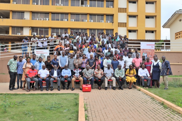
Geomatic Engineering students of the Kwame Nkrumah University of Science and Technology have begun a project to create maps to enhance town planning and management.
According to project lead, Prof. Samuel Andam-Akorful: "The main objective is to create an industry-level scenario for mapping and creating geospatial products using all fields of Geomatic Engineering."
The practical nature of the Geomatic Engineering program requires students to carry out extensive fieldwork to improve their technical skills. However, students have not had the opportunity to apply their knowledge in real-world settings.
The Department of Geomatic Engineering has therefore reorganized the final year practical task course as a Survey Camp, undertaken during a 2-week period in the long vacation.
During this Camp, students will gain firsthand experience in collecting data within communities using state-of-the-art technologies.
The datasets collected include land boundaries, land use and land cover, transportation networks, cultural and natural resources, general topographic data, and more.
The Department is collaborating with the Oforikrom Municipality to develop a map for the Ayigya township.
The students will map both natural and manmade features in the area and gather information about the land use of parcels in the region.
They will also assess whether current developments in the township align with the planned scheme.
Prof. Andam-Akorful believes this initiative will complement the efforts of the Lands Commission. He also hinted at expanding the project nationwide.
"Our long-term vision is to make what we call the land banks for the nationwide. We want to document this information so it becomes easier to access details about who owns what land and where. As we collect this information, it will complement what the Lands Commission is doing. We will collaborate with any community that wants to work with us," he was optimistic.
Partners and sponsors of the program include the Oforikrom Municipal Authority, Hia Topre Stool-Ayigya, Geometrix Engineering, PDSA (part of Hexagon), Quest Consolidated Ltd., and Leica Geosystems Ghana.
Latest Stories
-
Uganda’s military chief orders shutdown of two major media outlets
1 hour -
Two boys pulled from Venezuela earthquake rubble among 33 people rescued over weekend
1 hour -
Segun Arinze, Jerry Amilo react to fresh concerns about actor Hanks Anuku
5 hours -
Bad Bunny: Latin star lights up London with history-making stadium show
5 hours -
Fourteen killed in Saudi Arabia helicopter crash
5 hours -
Eleven killed after plane carrying skydivers crashes in eastern France
5 hours -
Europe’s heatwave linked to 1,300 deaths, WHO says, as Germany hits record 41.7 °C
5 hours -
Harry reconsiders bringing Meghan and children on UK trip
6 hours -
Canada score dramatic late winner to reach World Cup last 16
6 hours -
Tech firms are blaming AI for mega device and console price rises
6 hours -
Trump’s face is added to select US passports for America’s 250th birthday
6 hours -
Trump threatens 100% tariff on European nations over tech tax
6 hours -
Injured Raducanu withdraws from Wimbledon
6 hours -
Rice set for England start against DR Congo
7 hours -
Sunderland reject £8m Chelsea bid for Xhaka
7 hours