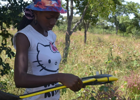
The United States Agency for International Development (USAID) in collaboration with NASA, implementing partner ICRISAT and scientific partners launched the second phase of the SERVIR West Africa program, known as SERVIR West Africa 2.
A joint initiative between USAID and NASA as well as leading geospatial organizations in Asia, Africa, and Latin America, SERVIR connects space to the village by using satellite data to address critical development challenges which affect communities on the ground.
The lead of NASA Earth Science’s Applied Sciences Program, Lawrence Friedl, said the agency is excited about all the many innovations and achievements this new phase will achieve.
“Together with people and institutions in the region, SERVIR West Africa 2 will lead to bigger and better ways geospatial and Earth science information benefits the region, building on the successes of the first phase,” Director Friedl noted.
In this second phase, USAID has committed nearly $16 million over the next five years to help West African countries use satellite data to address development challenges in food security and agriculture; water and hydro-climatic disasters; weather and climate; land cover and land use change; ecosystems services; and a newly introduced financial service.
During the SERVIR WA 2 launch event, USAID West Africa Mission Director Jo Lesser-Oltheten highlighted the unique contributions of SERVIR to achieving development goals.
“Geospatial technology is essential for providing evidence to shape development progress, address climate change and deliver lifesaving humanitarian assistance,” Mission Director Lesser-Oltheten added.
Director General at ICRISAT, Dr Jacqueline Hughes applauded USAID, NASA and regional partners for launching SERVIR West Africa 2 and the commitment it represents to the governments and people of the region.
“Through geospatial technology, we will continue to generate critical knowledge that informs good governance and public policy for better nutrition, food security, climate resilience and a host of other outcomes that we collectively seek for dryland communities in West Africa and beyond,” said Dr. Jacqueline.
This year’s GEO Week convened government institutions, academic and research institutions, data providers, businesses, engineers, scientists, and experts to create innovative solutions to global challenges at a time of exponential data growth, human development, and climate change that transcend national and disciplinary boundaries.
The first phase of SERVIR WA was launched in 2016. This second phase will be implemented in collaboration with several West African institutions as well as universities and international organizations including the Regional Center for Agrometeorology, Hydrology and Meteorology, the African Regional Institute for Geospatial Information Science and Technology, the Centre de Suivi Écologique, the Center for Remote Sensing and Geographic Information Services, the Institut supérieur d'études spatiales et des télécommunications, the African Institute of Mathematical Science (AIMS), the University of Florida, and Columbia University.
Latest Stories
-
Ukraine warns of WW3 ahead of stalled US aid vote
22 mins -
Paris 2024: LeBron James, Steph Curry and Kevin Durant named on USA basketball team
1 hour -
Woman rejected after a job interview because she wasn’t wearing makeup
1 hour -
4 little habits that cause big problems in your marriage
1 hour -
Election 2024: NPP establishes PWDs secretariat; targets 1.6 million PWDs votes
1 hour -
PIAC touts GNPC’s prowess as key energy provider
1 hour -
Fidelity Bank joins United Nations Global Compact initiative
1 hour -
Let’s leverage digital age to empower female CEOs, entrepreneurs – Bawumia
1 hour -
MTN and Huawei launch Joint Technology Innovation Lab to drive Africa’s digital transformation
2 hours -
‘I have no regrets’ – Pep Guardiola on Man City’s Champions League exit
2 hours -
Ghana, Vietnam commit to promoting bilateral relations
2 hours -
Police officer dies in pursuit of traffic offender
2 hours -
NDC’s attempt to pooh-pooh our efforts to increase Ghana’s power grid senseless – Atta Akyea
2 hours -
Paris 2024: Cadman Yamoah eyes Olympics spot
2 hours -
Bayern Munich end Arsenal’s Champions League dream as Kimmich scores winner
3 hours

